Featured
Edinburgh
United Kingdom
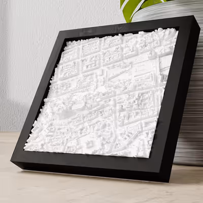
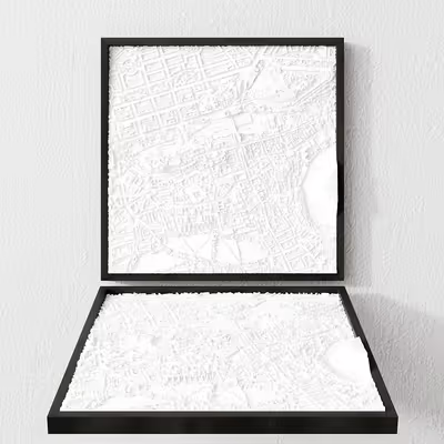
Frame 12x12 cm
PLA Matte • White
12 × 12 cm
United Kingdom
Price Range:
€49.99 - €142.00
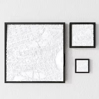
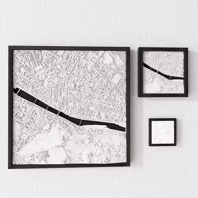
3 variants available
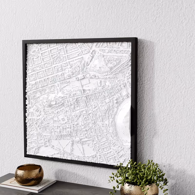
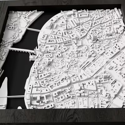
Edinburgh’s skyline blends medieval terraces, Georgian crescents, and volcanic cliffs. Our relief map highlights the tight wynds of the Old Town, the ordered grid of the New Town, and the defensive plateau crowned by Edinburgh Castle.
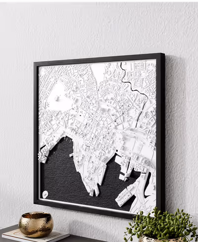
The Royal Mile’s cascading slope from Castle Rock to Holyrood Palace is modeled with micro-stepped elevation, revealing how bridges and alleys connect the ridge to Princes Street Gardens.
Arthur’s Seat and Salisbury Crags rise from the map with smooth contours, contrasting with the orthogonal elegance of the New Town. Subtle shading captures how light hits the city at dusk during festival season.
Our 3D printed Edinburgh maps showcase:
Ideal for Festival lovers, literature enthusiasts, or anyone with a Scottish connection.
Choose from our selection of sizes and materials for Edinburgh
We can create a custom 3D relief map of any city in the world. Contact us to discuss your custom order.
Request Custom City